The digital twin has become a holy grail for the smart city. A virtual model of a city, or a digital replica of the physical world, digital twins allow the simulation of plans before implementing them, exposing problems before they become a reality. From urban planning to land-use optimization, digital twins have the power to govern the city in a much more effective manner. Cities are large and complex environments, however, and while we have been talking about digital twins for almost 20 years, we are still not there yet. Innovative new integrations may soon change that and bring about the digital twin to enable truly smart cities. “Only with a digital twin in place, can government agencies effectively analyze what can be done with the data and improve citizen living, create economic opportunity and revitalize a closer community,” says Thomas Pramotedham, CEO of Esri Singapore. Last year, a partnership between Esri and design software […]
Most Popular Articles

Smart Building Startups Rebound: Funding Jumps 80% in H1 2026
Smart building startups are back in favor with investors. In the first half of 2026, we tracked 169 funding rounds worth more than $5.6 billion flowing into young companies serving the commercial buildings sector. That represents an 80% jump in value compared with the same period last year, and 34% more deals. After three years […]
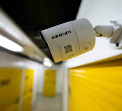
Hikvision 2026 Outlook: Can the Video Surveillance Leader Reignite Growth?
In this Research Note, we examine the Chinese video surveillance giant, Hikvision (Hangzhou Hikvision Digital Technology Co., Ltd.), focusing on its strategic shift, business organization, and 2025 results, based on its Annual Report and Investor Presentation in April 2026. This article updates our previous coverage of the company in May 2025. Hikvision Profile & Strategy […]
aedifion: HVAC Optimization StartUp Grows Revenue 86% in 2025
This Research Note examines aedifion, a German HVAC optimization startup, its growth in 2025/2026, and external funding before highlighting their recent collaboration with two other DACH smart building startups, Optiml and Green Fusion. This article updates our previous coverage of aedifion in April 2025. Aedifion Profile aedifion GmbH is a startup based in Cologne, Germany, […]